October 17, 2025
Browsing my NY Times app, I came across an illustrated article that explained what New York City will need to do to survive the predicted flooding over the next 50 years. New York’s coastal location allowed it to thrive but has now become a threat. Future models predict tidal flooding will mainly hit Southern Brooklyn, Queens, and Lower Manhattan. By 2080, many areas will face an increased risk of tidal flooding because of rising sea levels. At the same time, more neighborhoods will become vulnerable to extreme rainfall and wide swaths of the city face increasing risk from storm surge from a hurricane. Nearly 30 % of the city’s land mass could be at risk of significant flooding by 2080, and 17% of the city’s population (1.4 million) currently live in these areas. Climate experts recommend three strategies for the city to adapt. The city could increase its ability to absorb water by converting 5areas of asphalt and concrete to green space. It could be fortified by building barriers along its shores, and possibly a gate around the harbor. Or it could retreat, relocating people out of the most hazardous regions. Flood prevention will likely have to embrace all three approaches.
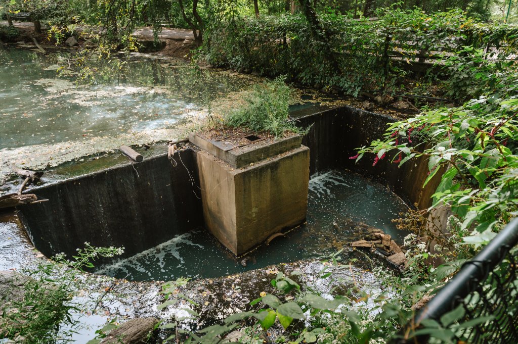
When I went online, I found New York’s flood prevention strategies include large-scale infrastructure projects along the East and Hudson Rivers to protect against storm surges and rising sea levels. New York is installing continuous flood protection systems along its coastlines, including flood walls, elevated landscapes, and discreet barriers like flip-up gates and stop logs. The Big U is a series of interconnected flood resilience projects to create a 5.5-mile (8.9 km) protective system around lower Manhattan to shield against sea level rise and storm surges. Projects like Battery Park have improved drainage infrastructure with systems of tide gate chambers to manage water during coastal surge events. Other initiatives include creating “cloudburst” sunken public spaces to temporarily hold water and providing residents with flood protection resources like sandbags, dams, and flood-resistant materials to help protect individual properties. FloodHelpNY provides information and connects eligible homeowners with engineers to help reduce flood risk. Finally, residents are encouraged to install features like sump pumps and drain plugs to protect their homes.
A 2024 study in Nature emphasizes how New York needs prevention measures to combat extreme rainfall events. Since 1970, the city’s stormwater system has been built to handle up to 1.75 inches (4.5 cm) of rain per hour. Hourly precipitation recorded in Central Park did not exceed this limit until 1995, but it has been eclipsed in three of the last five years. Little of that rainfall is absorbed or stored before reaching the stormwater system. Today, only about 30% of the city’s surface area is composed of absorbent surfaces. The remaining 70% is covered by impervious surfaces that replaced the original porous landscapes. The contemporary city was built atop wetlands and ponds that absorbed and stored water and the original shoreline was artificially expanded with landfill over the course of centuries. The areas at risk of flooding in the modern city overlap to a striking degree with the city’s historical wetlands. Understanding New York’s historical environment is crucial to imagining a more resilient urban future based on the city’s past topography.
THOUGHTS: In “Mannahatta: A Natural History of New York City,” author Eric Sanderson, a landscape ecologist at the New York Botanical Garden, addressed the prevention measures needed. “I was trying to imagine a configuration of the landscape . . . restoring streams, wetlands and agricultural lands, connecting the urbanized parts of the city, and depaving a lot of what we have.” Islands and coastal cities around the globe are struggling to keep up with the rising oceans caused by climate change. Sounds like sink or swim is more than an adage. We can no longer wait. Act for all. Change is coming and it starts with you.
